About Hood Canal
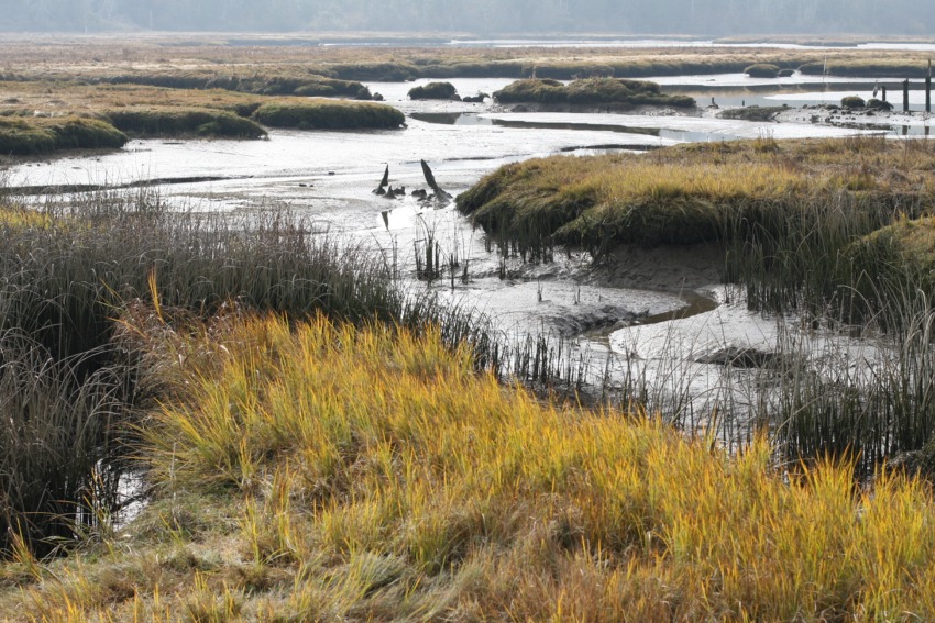
Thelar Wetlands, on Hood Canal
By Travis Baker, from Hood Canal: Splendor at Risk
The geologic forces that make Hood Canal what it is today - one of only two fjord like bodies of water in the continental U.S., its water flow limited by a shallow sill near its mouth - are only partially understood.
Much of what we know is only theory, and some of that theory is in dispute. But it appears Hood Canal is the work of rivers and a series of glaciers that exploited a weakness along the edge of the Olympic Mountains, a weakness probably created by a geologic fault line. For millions of years, the subterranean ocean plates have moved under North America in the never-ending reshaping of the earth.
Two or three yards at a time every 1,000 years or so, volcanic rock created on the Pacific ocean floor migrated to what has become the west coast of America. Some was thrust upward, building the Olympics. But most moved under the continental plate until it reached depths where temperatures melted it.
That molten rock sought escape in a series of volcanoes that created the Cascades. In between were the Puget Lowlands, and what would become the Hood Canal, which stretches 63 miles from its mouth to the tip of Lynch Cove at Belfair.
One might be mystified by the geologic force that could turn a glacier more than 90 degrees, as at the elbow of the canal where the Skokomish River enters. In fact, there is no such force.
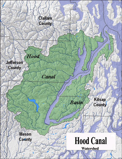
Hood Canal Watershed
Puget Sound Map
Though the basic contour of the lowlands was established by the growth of the Olympics to the west and the creation of the Cascades to the east, the often mysterious interplay between glaciers, the immense lakes that sometimes formed ahead of them, and the rivers that drained those lakes account for much other smaller-scale topography in the region.
At least four times the ice sheet came and went from the Puget Lowlands. Boulders trapped beneath its tremendous weight exploited weakness in the land surface to gouge out valleys. Many, including Hood Canal, filled with sea water when the ice receded and sea level rose from the melt. Stands of trees fell before the advancing ice and can be found buried in the landscape to this day.
Between glaciers, tens of thousands of years of stream erosion created other valleys, one of which linked to what is now the bottom arm of Hood Canal to Sinclair Inlet via the approximate route of the railroad tracks leading from Belfair to Bremerton. Why a portion of that channel is now Kitsap and Mason county uplands while another part of it is now the floor of the canal remains a geologic mystery.
So are the sills left by the last glacier that are now covered by the waters of Hood Canal. The sill is not bedrock, too hard to have been wiped away by the most recent glacier. Rather it is made of "unconsolidated sediments" that accumulated over the past few million years. But Hood Canal isn't a freak in that regard. Many fjords have a sill.